Hrčava
Digital Passport
Nomenclature and Geography
Category: City / Municipality
Summary
About the place: Hrčava is a mountain municipality in the Frýdek-Místek District of the Moravian-Silesian Region, nestled in the Jablunkov Intermontane. It is the second-easternmost municipality in the Czech Republic (boasting the easternmost municipal centre) and is famed for the Tripoint where the borders of Czechia, Poland, and Slovakia meet.
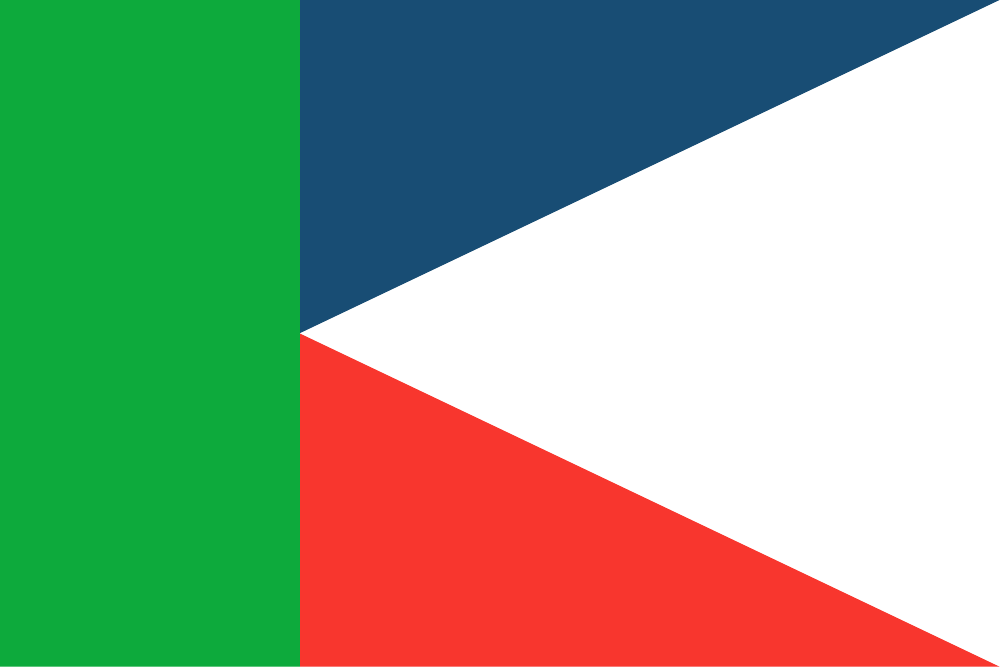
Flag Description: The flag consists of a green vertical hoist stripe covering three-tenths of the flag's length. The remainder of the fly is occupied by a white pile extending from the fly edge with its apex at the midpoint of the green stripe's inner edge, separating an upper blue triangular field and a lower red triangular field. The width-to-length ratio is 2:3.
Symbolism: The green colour evokes the dense forests and natural heritage of the Beskid Mountains. The heraldic pile and spruce tree of the municipal coat of arms are reflected in the geometric pile partition of the flag. The combination of white, blue, and red represents the Czech national tricolour while simultaneously symbolizing the unique tripoint joining three Slavic nations: Czechia, Poland, and Slovakia.
Statistics
Area
2.89 km²
Population
249