Hrušovany nad Jevišovkou
Digital Passport
Nomenclature and Geography
Category: City / Municipality
Summary
About the place: A town in the Znojmo District, South Moravian Region, located in the Thaya-Svratka Valley near the Austrian border.
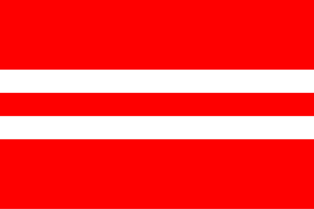
Flag Description: Hrušovany nad Jevišovkou is a town in Znojmo District, South Moravian Region, Czechia, situated in the fertile lowlands of the Thaya-Svratka Valley near the Austrian border along the Jevišovka River. It serves as a local agricultural and railway center historically known for sugar beet processing and pond fish farming.
Symbolism: The color scheme of the flag is derived from the historic coat of arms granted to the town in 1495 by King Vladislaus II. The red and white tinctures mirror the red shield and the two silver fish (a pike and a carp), which symbolize the local river Jevišovka, aquatic resources, and the region's historic freshwater fishpond culture. The two white stripes echo the two heraldic fish.
Flag Description: Hrušovany nad Jevišovkou is a town in Znojmo District, South Moravian Region, Czechia, situated in the fertile lowlands of the Thaya-Svratka Valley near the Austrian border along the Jevišovka River. It serves as a local agricultural and railway center historically known for sugar beet processing and pond fish farming.
Symbolism: The color scheme of the flag is derived from the historic coat of arms granted to the town in 1495 by King Vladislaus II. The red and white tinctures mirror the red shield and the two silver fish (a pike and a carp), which symbolize the local river Jevišovka, aquatic resources, and the region's historic freshwater fishpond culture. The two white stripes echo the two heraldic fish.
Statistics
Area
25.30 km²
Population
3,396