Hrušovany u Brna
Digital Passport
Nomenclature and Geography
Category: City / Municipality
Summary
About the place: Hrušovany u Brna is a municipality in the Brno-Country District in the South Moravian Region of the Czech Republic, situated in the fertile lowlands of the Dyje-Svratka Valley approximately 18 km south of Brno. The settlement is characterized by agricultural and winemaking heritage, benefiting from its strategic location on a major transport corridor.
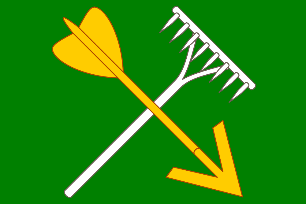
Flag Description: A green field charged with a yellow arrow pointing bendwise sinister downwards, surmounting bendwise a white rake with its handle pointing downwards. The ratio of width to length is 2:3.
Symbolism: The green field symbolizes the fertile local nature and the agricultural character of the region in the Dyje-Svratka Valley. The rake and arrow are historical emblems derived from old municipal seals; the rake represents traditional agriculture and field labor, while the arrow reflects the community's historical sphragistic heritage.
Statistics
Area
9.04 km²
Population
3,518