Hustopeče
Digital Passport
Nomenclature and Geography
Category: City / Municipality
Summary
About the place: Hustopeče is a South Moravian town located in the Břeclav District, about 30 km south of Brno. It is a traditional center of viticulture and fruit cultivation, widely renowned for its almond orchards and setting in the Hustopeče Hilly Land.
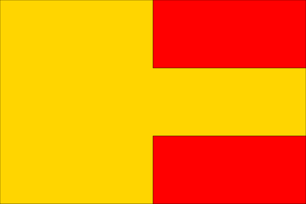
Flag Description: The flag sheet with an aspect ratio of 2:3 is vertically divided into two halves. The hoist half is solid yellow. The fly half consists of three horizontal stripes of equal width in red, yellow, and red.
Symbolism: The colors and design of the flag are derived from the historic municipal coat of arms granted to the town in 1572 by Emperor Maximilian II. The yellow (gold) and red tinctures reflect key elements of the arms – the golden fess, the red field, and the red grape cluster, which symbolize centuries of prominent viticultural tradition and town privileges.
Statistics
Area
24.53 km²
Population
6,388