Ituiutaba
Digital Passport
Nomenclature and Geography
Category: City / Municipality
Summary
About the place: Ituiutaba is a municipality in the western part of the state of Minas Gerais, Brazil, located in the Triângulo Mineiro region. It serves as an important economic, educational, and agricultural center for the surrounding area.
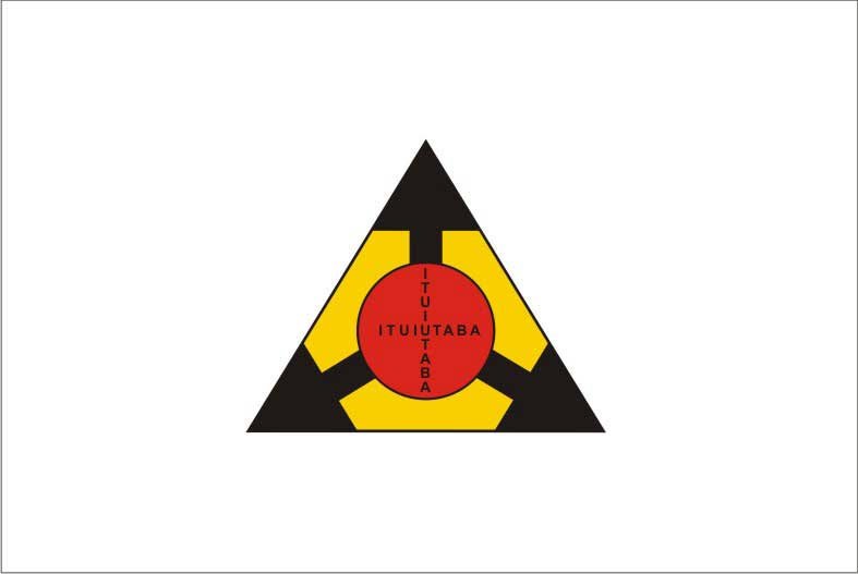
Flag Description: The flag consists of a white field featuring a centered yellow equilateral triangle pointing upwards, outlined with a black border. Three black arrows extend from inside the triangle toward its corners. At the center of the composition lies a red circle bearing the city's name 'ITUIUTABA' in black capital letters, arranged both horizontally across the center and vertically, intersecting at the shared letter 'U'.
Symbolism: The triangle refers to the traditional symbol of the state of Minas Gerais and the Triângulo Mineiro region. The three black arrows pointing outward represent growth, development, and the region's transport and economic crossroads. The central red circle with the municipality's name highlights Ituiutaba's role as a regional hub.
Statistics
Area
2,598.00 km²
Population
102,217