Japurá
Digital Passport
Nomenclature and Geography
Category: City / Municipality
Summary
About the place: Japurá is a municipality located in the northwestern part of the Brazilian state of Amazonas, deep within the Amazon rainforest along the Japurá River. Situated near the border with Colombia, it is mainly accessible by river or air transport.
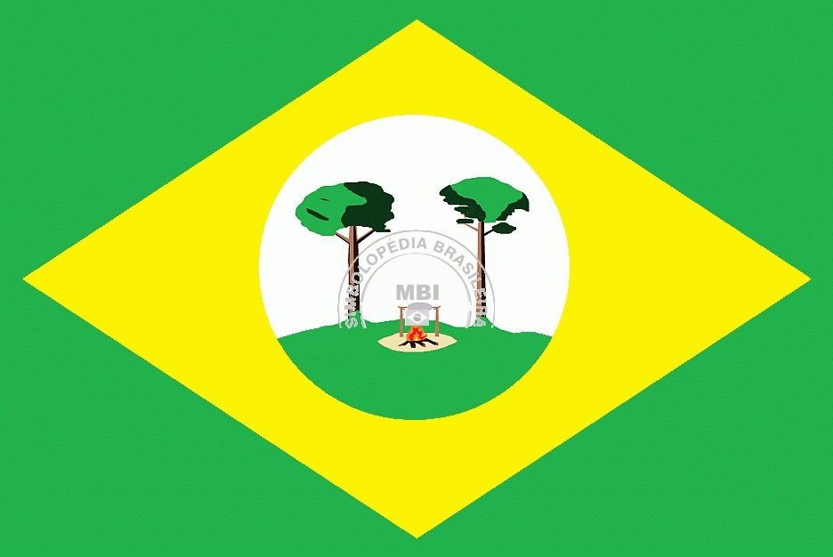
Flag Description: The flag consists of a green field with a large yellow lozenge in the center containing a white circle. Inside the white circle is a landscape scene featuring a green hill, two trees, and a campfire with flames in the center. The emblem includes arched text above and the letters 'MBI' with a small symbol above the fire.
Symbolism: The overall layout with a green field and yellow lozenge directly references the national flag of Brazil, representing natural resources and national identity. The green landscape with trees and a campfire in the central circle reflects the dense Amazonian nature, early settlement history, and local cultural heritage tied to the Japurá River.
Statistics
Area
55,791.48 km²
Population
17,500