Jeřmanice
Digital Passport
Nomenclature and Geography
Category: City / Municipality
Summary
About the place: Jeřmanice is a municipality in the Liberec District of the Liberec Region, situated at the southern foot of the Ještěd-Kozákov Ridge approximately 7 km south of Liberec. The village has a picturesque submontane character and extends along the Jeřmanický brook.
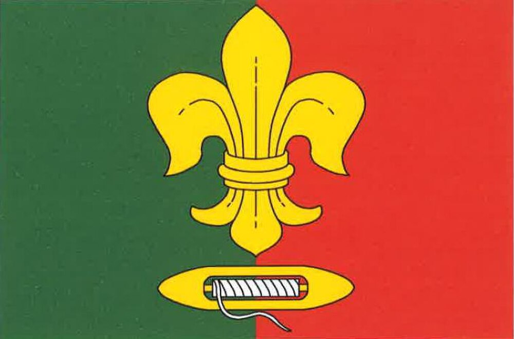
Flag Description: The flag consists of two vertical stripes of green and red. In the center is a yellow fleur-de-lis above a horizontally oriented yellow weaver's shuttle with white thread. The ratio of the width to the length of the sheet is 2:3.
Symbolism: The weaver's shuttle with thread commemorates the traditional textile craft and home weaving industry that served as the primary livelihood for local inhabitants during the 18th and 19th centuries. The fleur-de-lis represents spiritual heritage, purity, and sacred traditions of the region. The green field symbolizes the surrounding submontane nature and forests, while red complements the flag with heraldic balance.
Flag Description: The flag consists of two vertical stripes of green and red. In the center is a yellow fleur-de-lis above a horizontally oriented yellow weaver's shuttle with white thread. The ratio of the width to the length of the sheet is 2:3.
Symbolism: The weaver's shuttle with thread commemorates the traditional textile craft and home weaving industry that served as the primary livelihood for local inhabitants during the 18th and 19th centuries. The fleur-de-lis represents spiritual heritage, purity, and sacred traditions of the region. The green field symbolizes the surrounding submontane nature and forests, while red complements the flag with heraldic balance.
Statistics
Area
4.37 km²
Population
656