Kadov (Strakonice District)
Digital Passport
Nomenclature and Geography
Category: City / Municipality
Summary
About the place: Kadov is a South Bohemian municipality in the Strakonice District, situated in a gently undulating landscape of forests and ponds in the Blatná region, about 8 km southwest of Blatná. It has a tranquil rural character and is renowned primarily for the national natural monument of the Kadov rocking stone (Kadovský viklan).
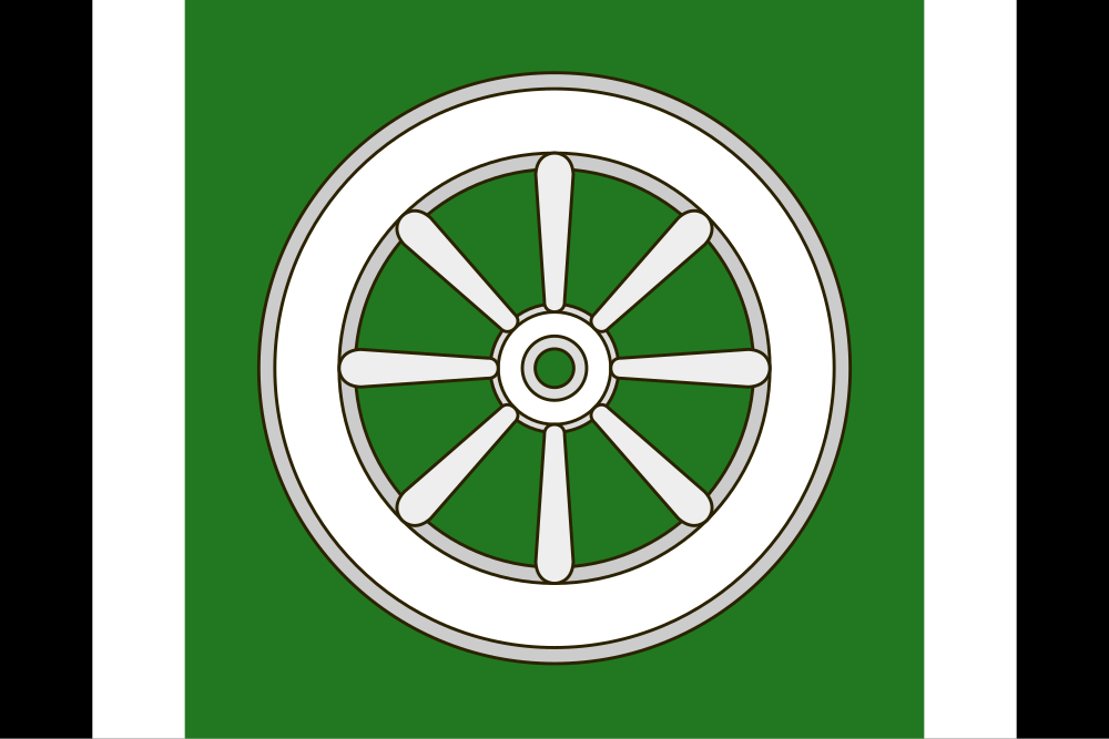
Flag Description: Kadov is a South Bohemian municipality in the Strakonice District, situated in a gently undulating landscape of forests and ponds in the Blatná region, about 8 km southwest of Blatná. It has a tranquil rural character and is renowned primarily for the national natural monument of the Kadov rocking stone (Kadovský viklan).
Symbolism: The white wagon wheel refers to the coat of arms of the 14th-century Lords of Kadov, who historically held the local stronghold and estate. The green field represents the surrounding forests and rural countryside of the region, while the black and white stripes draw from the heraldic colors and the famous Kadov granodiorite rocking stone.
Statistics
Area
19.61 km²
Population
388