Karlovice
Digital Passport
Nomenclature and Geography
Category: City / Municipality
Summary
About the place: Karlovice is a village and municipality located in the Bruntál District of the Moravian-Silesian Region, nestled in a valley of the Hrubý Jeseník mountain range. It lies along the Opava River and is known for its scenic nature and history connected with iron ore mining and processing.
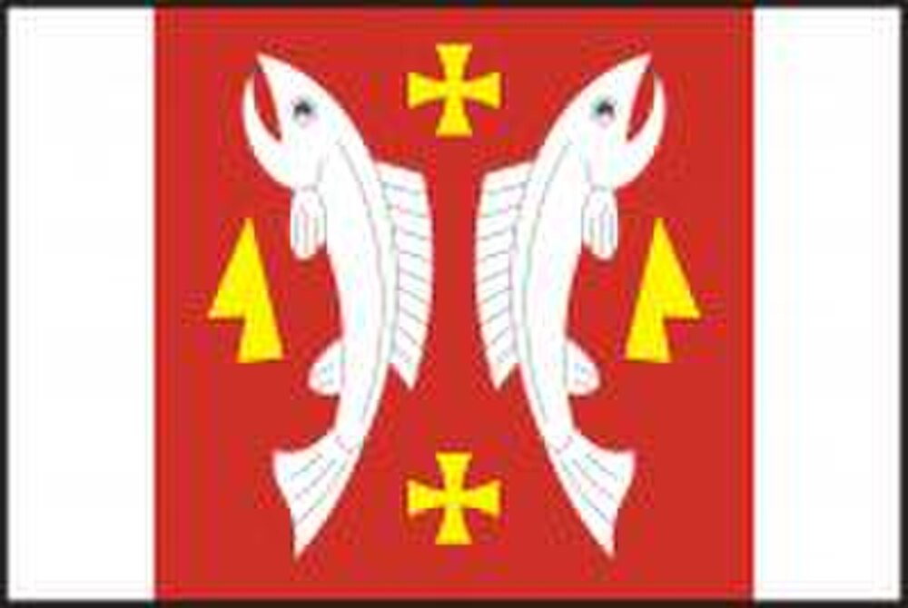
Flag Description: The flag consists of three vertical stripes: white, red, and white. In the broad central red stripe, two erect white salmons face outward away from each other. Between their heads at the top and tails at the bottom are two small yellow pattée crosses. Flanking the fish on the outer sides are two yellow coulters facing outward with their points directed toward the top edge.
Symbolism: The motif refers to the historical seal symbols of the village and the surrounding natural environment. The outward-facing salmons represent the clear waters of the Jeseníky region and historic fishing, while the coulters symbolize agricultural tradition and rural heritage. The pattée crosses and red-and-white color scheme connect to the historical heraldic identity of the area.
Statistics
Area
21.63 km²
Population
1,003