Kölesd
Digital Passport
Nomenclature and Geography
Category: City / Municipality
Summary
About the place: Kölesd is a village in Hungary, located in Tolna County within the Szekszárd District. It lies in the Sió river valley within the hilly Tolna region.
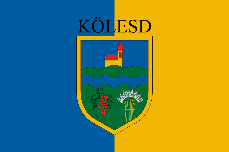
Flag Description: The rectangular flag consists of two vertical stripes: blue on the hoist side (left from the viewer's perspective) and yellow on the fly side (right from the viewer's perspective). In the center of the flag is the municipal coat of arms featuring a yellow border. Above the shield, the black uppercase text KÖLESD is displayed. The blue shield depicts a yellow church with a red roof on a green hill in the upper part. A wavy blue bar runs across the middle, while the lower green section features a red bunch of grapes with green leaves on the left and a yellow sheaf of wheat on the right.
Symbolism: The blue and yellow colors mirror the primary colors of the municipal coat of arms. The church on the hill represents the local landmark and spiritual heritage of the community. The wavy blue bar symbolizes the Sió River flowing through the area. The bunch of grapes and the sheaf of wheat at the bottom highlight the village's agricultural roots, specifically viticulture and grain farming.
Statistics
Area
38.44 km²
Population
1,391