Laranjal do Jari
Digital Passport
Nomenclature and Geography
Category: City / Municipality
Summary
About the place: Laranjal do Jari is a municipality located in the southern and western part of the state of Amapá, Brazil. It is known for its location along the Jari River and its vast areas of tropical rainforest.
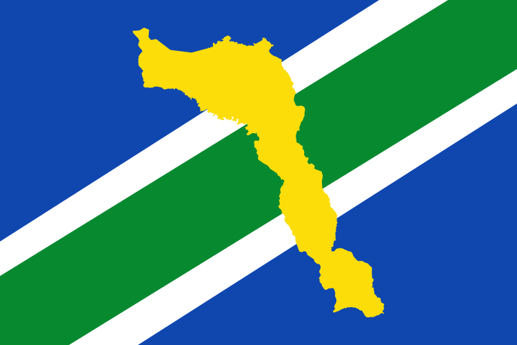
Flag Description: The flag features a blue field crossed diagonally from the lower hoist to the upper fly by a green stripe bordered by two thin white stripes. In the center lies a yellow silhouette map of the municipality.
Symbolism: Blue represents the waterways and sky, green symbolizes the lush vegetation and rainforest, white stands for peace, and the yellow map silhouette highlights the municipality's territory and wealth.
Statistics
Area
30,971.00 km²
Population
35,114