Maranguape
Digital Passport
Nomenclature and Geography
Category: City / Municipality
Summary
About the place: Maranguape is a Brazilian municipality in the state of Ceará, located within the Fortaleza metropolitan area. It sits at the foot of the Serra de Maranguape and is well known for its rich history and scenic natural surroundings.
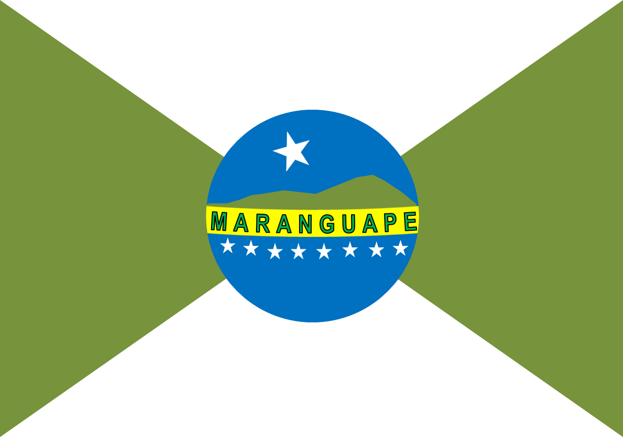
Flag Description: The flag is divided saltirewise into four triangular fields—the top and bottom triangles are white, while the hoist and fly triangles are olive green. In the center sits a blue circular disc. Inside the upper part of the disc, a white five-pointed star floats above a green mountain silhouette. A yellow band inscribed with the black name MARANGUAPE crosses the middle of the disc. Below the band, a arc of nine small white five-pointed stars follows the lower curve.
Symbolism: The green triangles represent the lush vegetation and the Serra de Maranguape mountain range, while white stands for peace. The central blue disc represents the sky. The mountain silhouette depicts the local topography, the prominent star represents the municipality itself, and the nine smaller stars symbolize its districts. The yellow ribbon displays the municipality's name.
Statistics
Area
590.82 km²
Population
105,059