Marituba
Digital Passport
Nomenclature and Geography
Category: City / Municipality
Summary
About the place: Marituba is a municipality located in the state of Pará, Brazil, forming part of the Belém metropolitan area. It covers an area of approximately 103 km² near the Amazonian region.
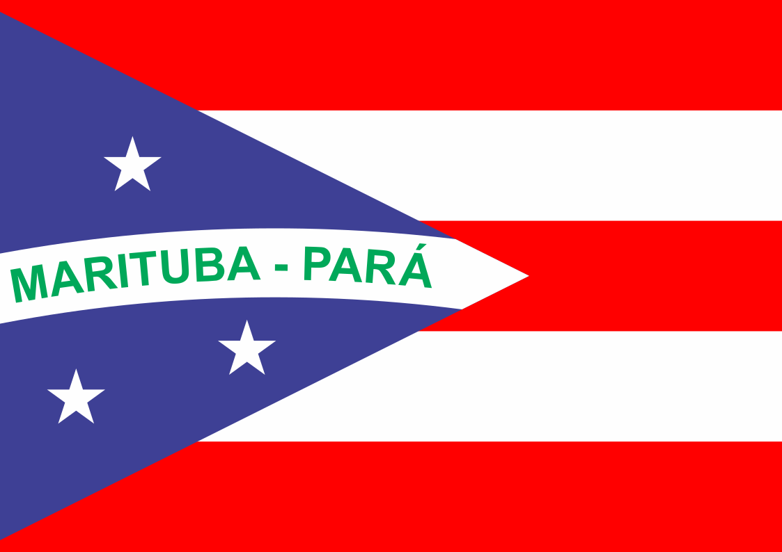
Flag Description: The flag consists of five horizontal stripes, alternating three red and two white. At the hoist, there is a blue triangle extending towards the center. Crossing the triangle is a white curved band displaying the green inscription "MARITUBA - PARÁ". Above the band is one white five-pointed star, and below the band are two white five-pointed stars.
Symbolism: The blue triangle with stars and a curved band evokes elements of Brazilian national symbolism. The green lettering refers to the name of the municipality and its membership in the state of Pará.
Statistics
Area
103.21 km²
Population
133,619