Márokföld
Digital Passport
Nomenclature and Geography
Category: City / Municipality
Summary
About the place: Márokföld is a small village located in Zala County in western Hungary, near the border with Slovenia. The area is characterized by its peaceful rural countryside and natural surroundings.
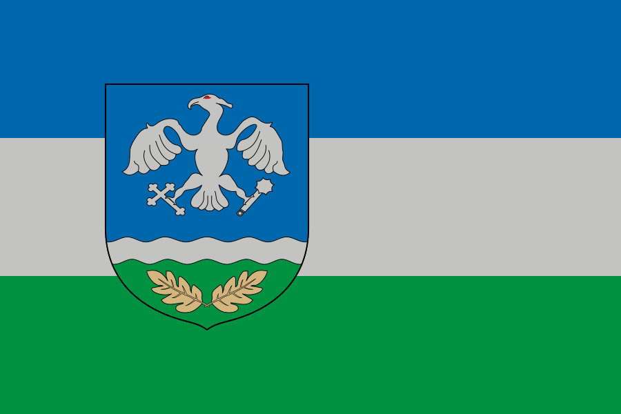
Flag Description: The flag of the municipality consists of three horizontal stripes: blue, white (silver), and green. Shifted towards the hoist on the left side, the municipal coat of arms is placed across all three stripes. The shield features a blue field depicting a silver bird (Turul) with spread wings, holding a patriarchal clover cross in its right claw and a mace in its left claw. The lower part of the shield is separated by a wavy silver bar above a green base containing two crossed golden oak leaves.
Symbolism: The blue, white, and green colors symbolize the sky, purity, and the rich natural surroundings of the region. The mythical Turul bird is a traditional Hungarian national symbol, while the patriarchal cross and mace represent Christian faith and historic defense. The wavy bar stands for local watercourses, and the oak leaves represent the surrounding forests and strength.
Statistics
Area
7.44 km²
Population
43