Mozarlândia
Digital Passport
Nomenclature and Geography
Category: City / Municipality
Summary
About the place: Mozarlândia is a municipality located in the northwestern region of the state of Goiás, Brazil. Situated in a fertile region between the Araguaia and Crixás-Açú rivers, its economy is heavily focused on cattle ranching and agriculture.
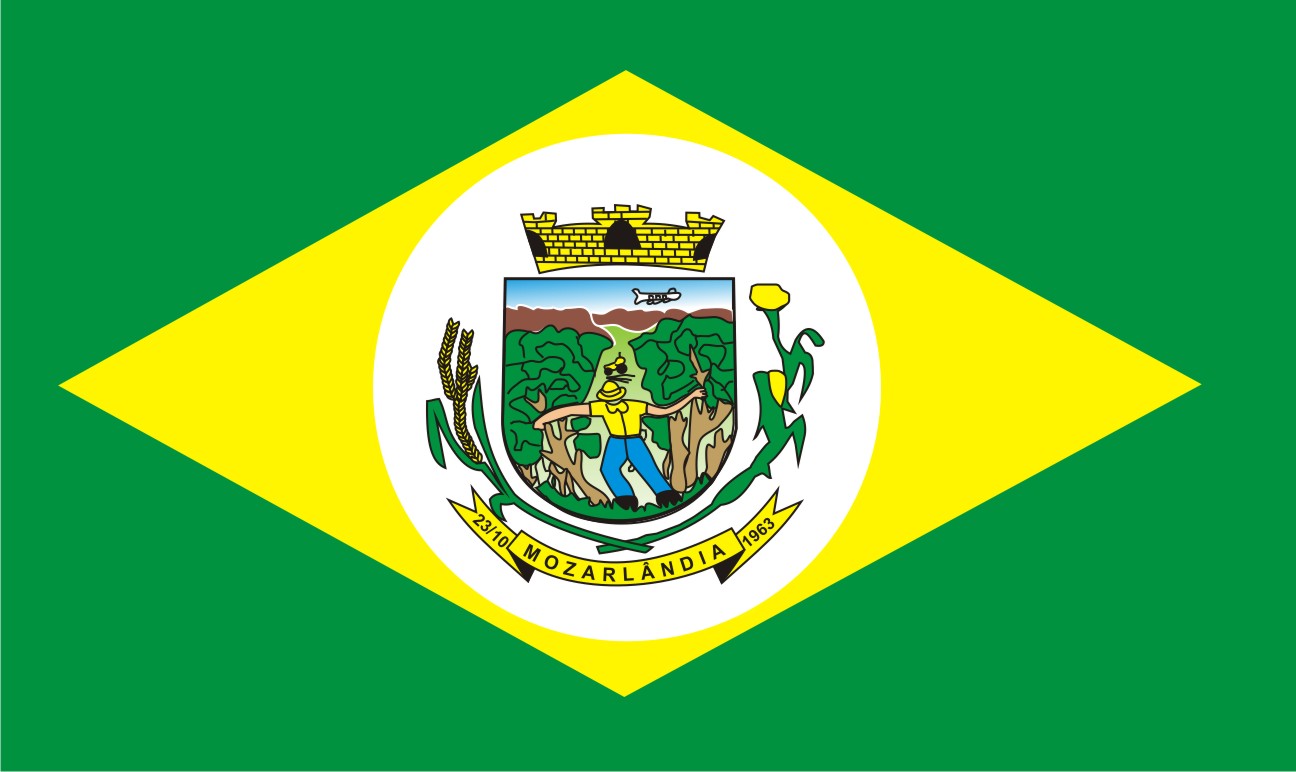
Flag Description: The flag consists of a green field featuring a white lozenge whose vertices touch the edges of the flag. In the center of the white lozenge is the municipal coat of arms of Mozarlândia.
Symbolism: The green color symbolizes the lush vegetation and natural wealth of the region. The white lozenge refers to the traditional design of Brazilian municipal flags and represents peace. The municipal coat of arms in the center depicts the local history, agriculture, and economic significance of the municipality.
Statistics
Area
1,734.36 km²
Population
14,214