Mysletín
Digital Passport
Nomenclature and Geography
Category: City / Municipality
Summary
About the place: Mysletín is a municipality and village in Pelhřimov District in the Vysočina Region of the Czech Republic, situated approximately 13 km east of Pelhřimov.
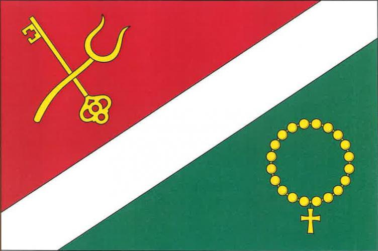
Flag Description: The flag is divided by a diagonal white bend (width equal to one fourth of the flag width) into a red hoist field and a green fly field. In the upper red field, a yellow key placed bendwise sinister with teeth facing upwards and towards the hoist is crossed with upright yellow pitchforks placed bendwise. In the lower green field, there is a yellow rosary with a small cross.
Symbolism: The key in the red field refers to Saint Peter and historical ties to ecclesiastical administration. The pitchfork represents the traditional agricultural character of the village. The rosary in the green field symbolizes local spiritual tradition and the village chapel.
Statistics
Area
4.15 km²
Population
128